10 March 2023
|
The 1871 Census for England, Scotland and Wales has, for the first time, been georeferenced on TheGenealogist.
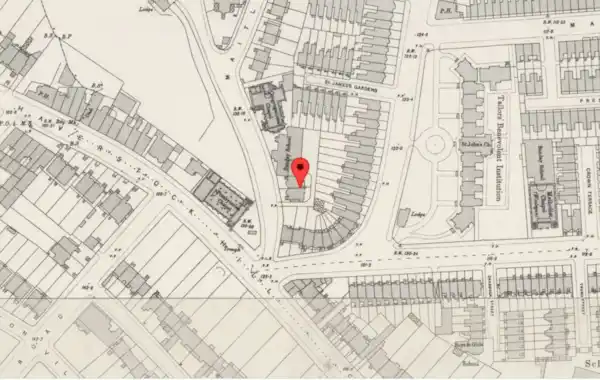
Georefrencing is the process of linking a record to a geographical spot and means subscribers at TheGenealogist can now see where a household stood, with links to detailed maps.
Viewing a household record from the 1871 census on TheGenealogist will now show a map pinpointing its location. Clicking through from this preview map opens the Map Explorer™ with its georeferenced modern and historical maps. This then enables subscribers to explore their ancestors’ area in much greater detail than on other census sites.
The Greater London Area, Buckinghamshire and Berkshire along with most towns and cities can be viewed down to the property level, while other parts of the country will identify down to the parish, road or street.
Explore with a diamond subscription at TheGenealogist.


