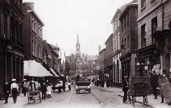
TheGenealogist has expanded its Landowner and Occupier Collection with the release of over 134,000 new Lloyd George Domesday land tax records covering Hertfordshire and Bedfordshire.
This latest addition covers more than 355 square miles of Hertfordshire and Bedfordshire, including areas around Watford, St Albans, and Hemel Hempstead, and extending up to Luton, Dunstable, and Toddington.
The records provide an insight into the lives of our ancestors, enabling researchers to uncover the owners and occupiers of properties between 1910 and 1915, as well as details about the size, state of repair, and value of their homes.
The scanned field book pages (IR58) have been linked to large scale Ordnance Survey maps from the time and are fully searchable by a person's name, county, parish, and street. You can find individual property details within these IR58 Valuation Records from 1910, meaning that you could find extra details about an ancestor’s home or place of work.
The release includes records for:
Abbots Langley, Aldbury, Aldenham, Barton, Berkhamsted Rural, Berkhamsted Urban, Billington, Bovingdon, Bushey and Oxhey, Caddington, Chalgrave, Dunstable, Eaton Bray, Eggington, Flamstead, Flaunden, Great Gaddesden, Harpenden, Heath and Reach, Hemel Hempstead, Houghton Regis, Hyde, Kensworth, Kings Langley, Leighton Buzzard, Linslade and Soulbury, Little Gaddesden, Luton, Markyate, Nettleden, Northchurch, Puttenham (Tring Rural), Puttenham (Tring Urban), Redbourn, Rickmansworth and Chorleywood, Ridge, Sarratt, St. Albans, St. Michael, Stanbridge, Streatley, Studham, Sundon, Tilsworth, Toddington, Totternhoe, Tring Urban, Tring Urban (Tring Rural), Watford and Wigginton.
Explore with a Diamond subscription at TheGenealogist.


