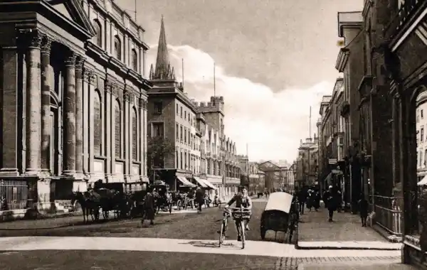
TheGenealogist has announced the launch of a new resource for family historians, offering a way to discover what type of property our Oxfordshire ancestors once occupied.
TheGenealogist has just added records covering every head of household and property owner in Oxfordshire around the period 1910-15 with their latest release. Known as the Lloyd George Domesday Survey, the site now has over 2 million records searchable online from this collection, covering all boroughs of Greater London plus Middlesex, Buckinghamshire, Berkshire and West Hertfordshire, along with the newly added Oxfordshire.

The new release covers over 1,000 square miles of Oxfordshire in the early 20th century
About The Lloyd George Domesday Survey
- The Lloyd George Domesday Survey identifies individual properties on extremely detailed 1910-1915 maps, zoomable to the exact plot.
- The surveyors’ field books provide fascinating details about the house, often revealing the size and number of its rooms
- Maps reveal the features of the neighbourhood in which an ancestor lived
- Search using the Master Search or by clicking on the pins displayed on TheGenealogist’s Map Explorer™
- Historic maps are layered over modern street maps, allowing you to see how an area changed over time
The project will expand to cover the rest of England & Wales.
Dr Jessamy Carlson, Family & Local History Engagement Lead at The National Archives, said: 'The Valuation Office maps are a key resource for house and local history, and this project is an exciting development for future research. Oxfordshire is an excellent addition to this growing set of online resources, and the variety of residences it covers reveals some fascinating insights into communities before the First World War.'
Explore with a diamond subscription at TheGenealogist.


